Today was a hike of the Kaibab Trail in the Grand Canyon. We stayed in the small town of Williams just off Interstate 40. From here it is a good 60 miles to the Grand Canyon Visitor Center.
The trail can be driven in about 1 hour, giving you a first glimpse of the Grand Canyon landscape. The vegetation changes constantly with increasing altitude. Since the rim of the canyon is at 2213 m, it is not surprising that everything from lush forests to barren shrub landscapes is available. Interestingly, the Grand Canyon area does not adhere to the vegetation zones known from Europe. The most lush forest can be found just before the edge of the canyon at around 2100 m, although at this altitude the tree line in the Alps has long since been exceeded.
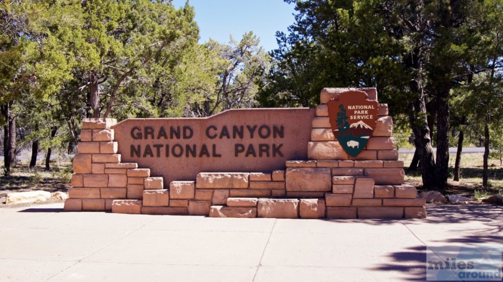
Shortly before the canyon rim you enter the Grand Canyon National Park. The ticket costs $25 per vehicle and can then be used for 7 days. This gives you access to various information buildings on the formation and nature of the canyon as well as free use of the shuttle bus, which runs in several lines to the viewpoints at the canyon rim.
Grand Canyon Hike: Kaibab Trail
We took the orange line to the South Kaibab Trailhead. From there our tour into the canyon started. Here you have the last opportunity to refuel with water, which is also strongly recommended. Since we didn't know how far into the canyon we wanted to go, we filled our bottles to the brim and set off with 3 liters of water per person as well as various granola bars and chocolate cookies.
Kaibab Trail: OOH-AAH-Point
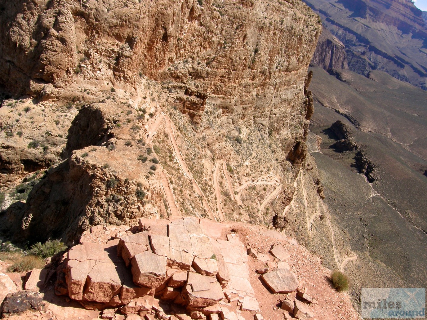
Right at the beginning, the route leads steeply down over a few serpentines and so you have already covered the first 200 meters in altitude after half an hour. Then you reach the OOH-AAH point.
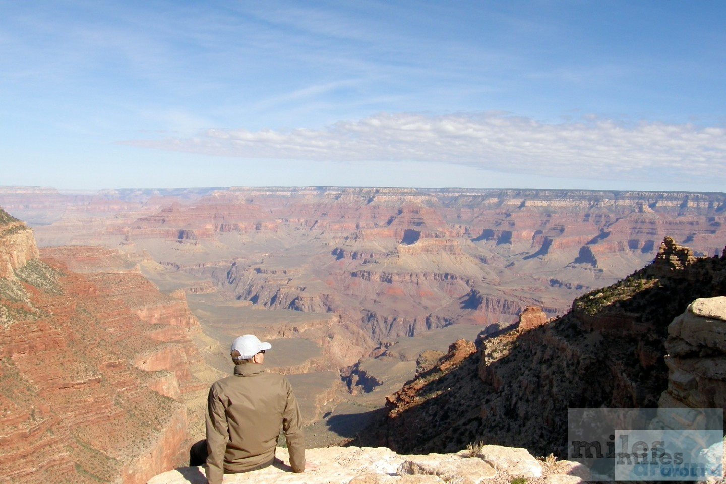
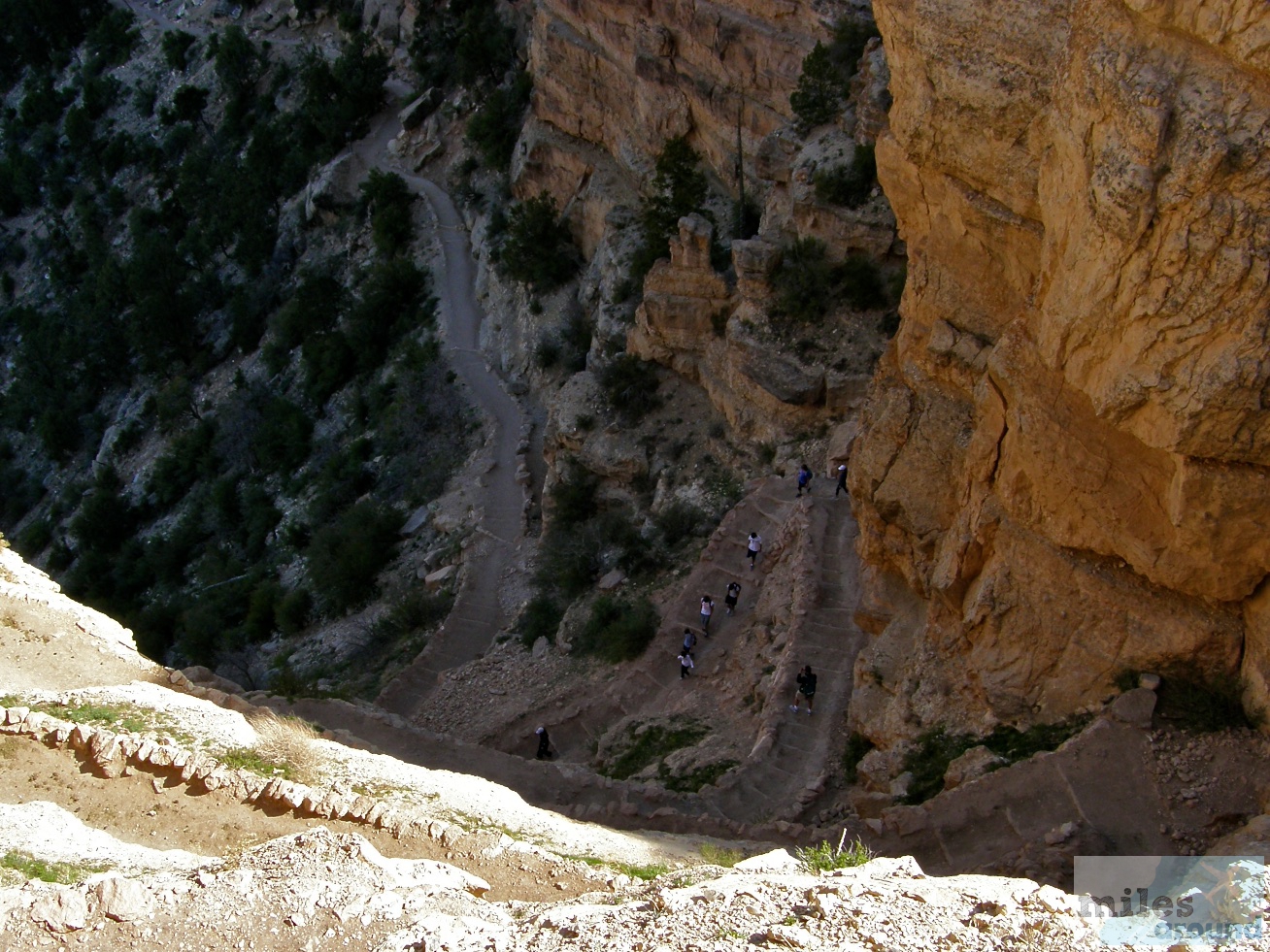
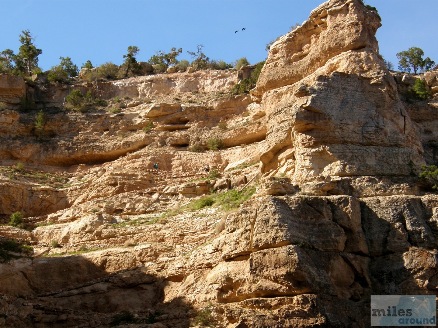
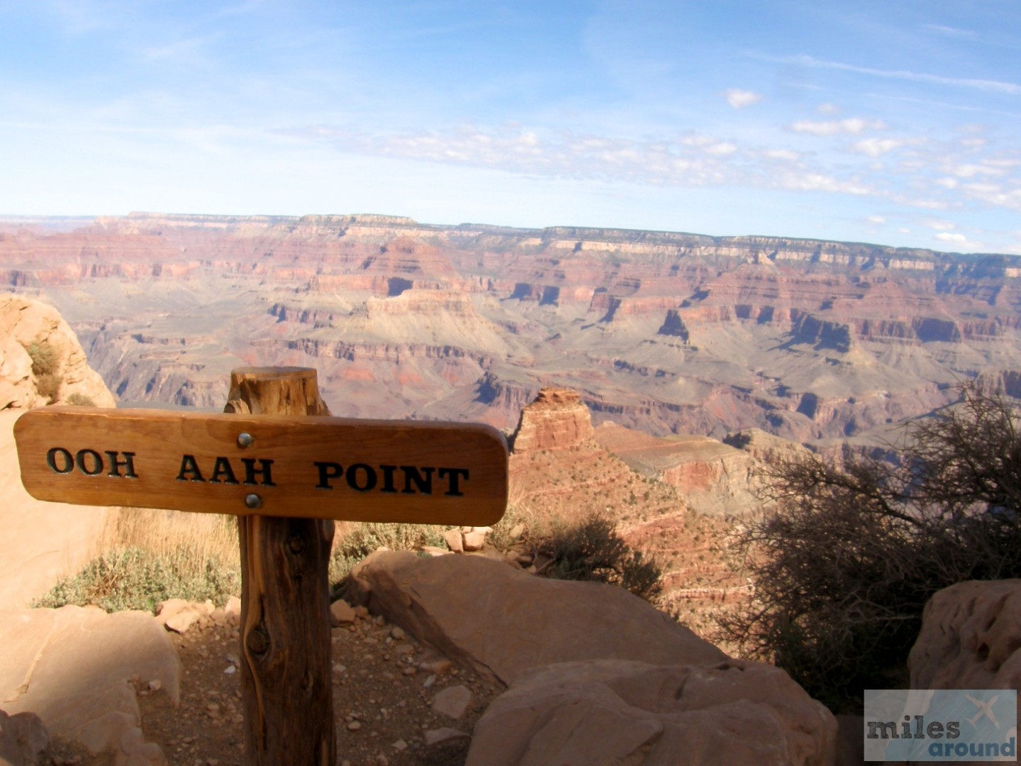
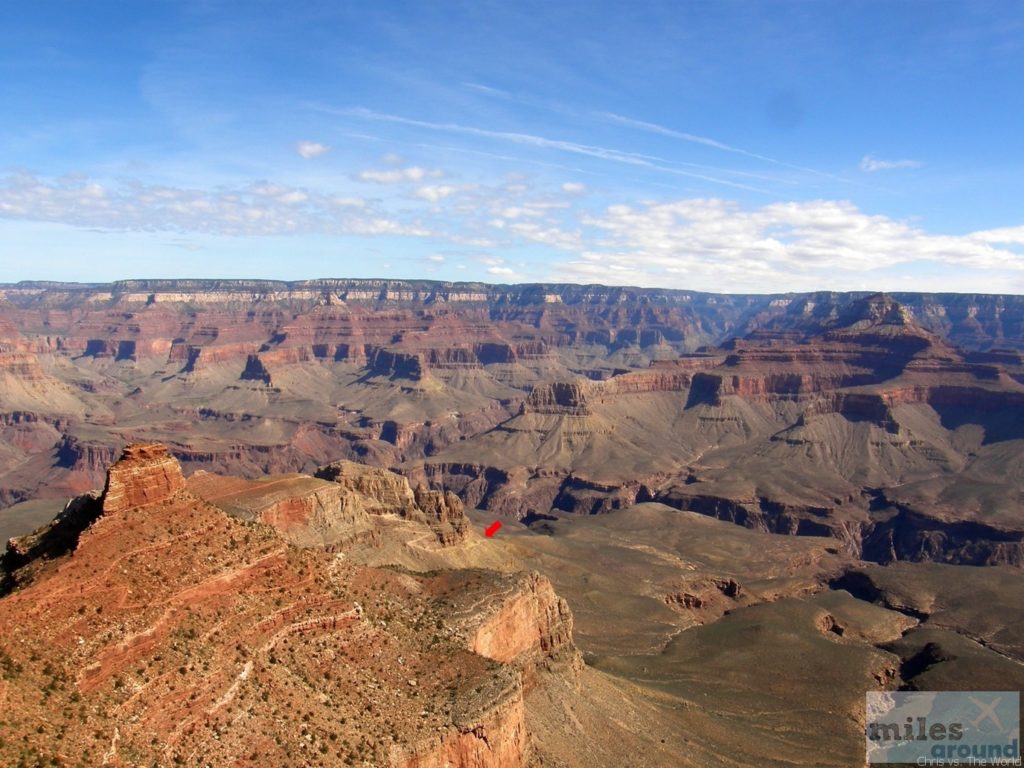
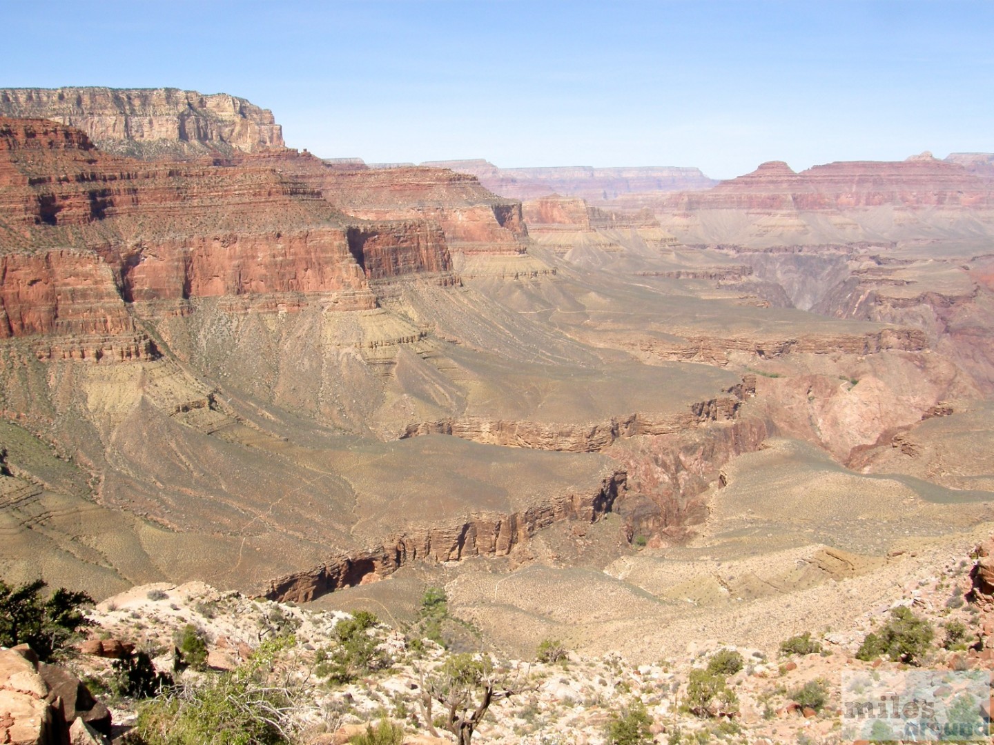
This vantage point certainly owes its name to the grandiose view over a large piece of the canyon landscape and the associated exclamations of the visitors. Due to an excellent view, we could easily see to the other side of the canyon (approx. 13 kilometers) and to the inner plateau. The individual rock layers can be seen very well here.
Kaibab Trail: Cedar Ridge
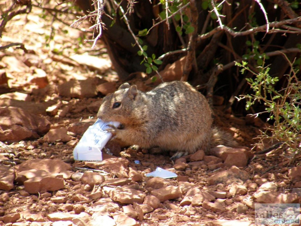
Then it was another 150 m to Cedar Ridge. This is a small high plateau where we were able to regain our strength in the shade and play a bit with the resident wildlife. The squirrels living there can no longer be called wild. Constant feeding has made them so used to people that they will even come up to you to beg for food. It may look good, but it has nothing to do with wild, untouched nature. So one of these little animals then immediately seized the opportunity and stole Chris's muesli bar.
Kaibab Trail: Skeleton Point
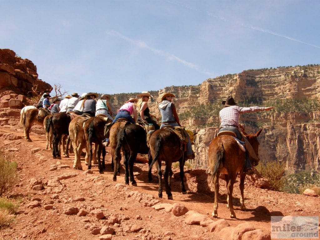
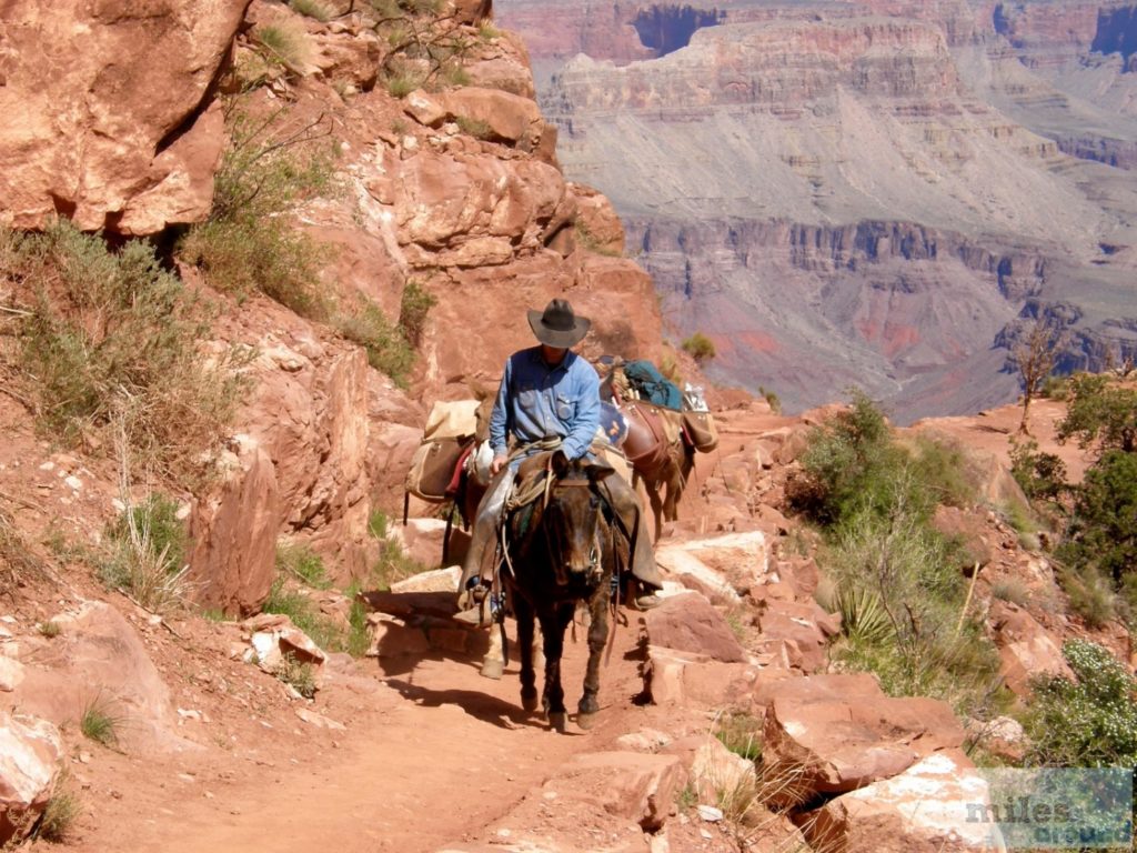
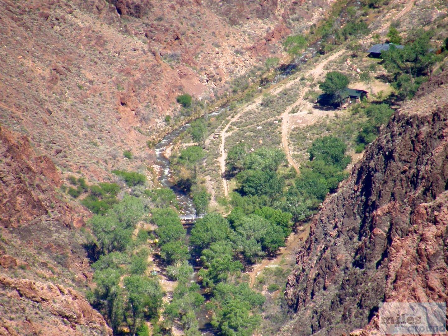
With that, half of our mandatory program was done and we went deeper into the canyon towards Skeleton Point. On the way there we met several groups of mules. These beasts of burden are used by the locals to bring goods and tourists from the rim to the Phantom Range on the Colerado River. It is the end of the South Kaibab Trail and can be reached in one day, but only one way. After an overnight stay on the range, the way back should only be started the next day. Here we really realized that we are in the "Wild West" in a cowboy and Indian area. The handlers of these animals wore western clothing and had the typical "mumbling" cowboy pronunciation - very funny.
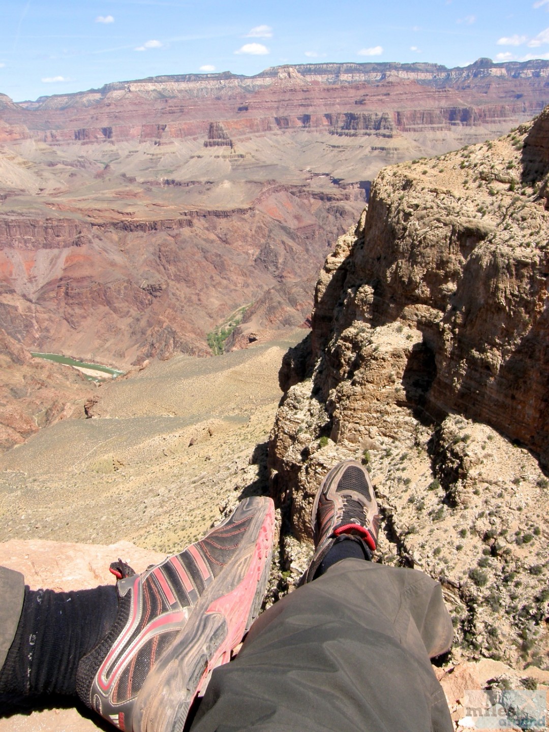
Finally arriving at Skeleton Point we could catch a glimpse of the Colorado. Unfortunately, it stayed with the small piece later, because the river can only be seen again after the complete descent to the Phantom Range. The river is green at this time of the year. At this point there was also a very refreshing wind, which is a real blessing at almost 30°C. Up to this point we had already climbed 650 meters (certainly only downhill). However, it was just after 11am. The path to this point was recommended by the park management as the longest route for a day hike. This is certainly due to the subsequent very steep descent to the green plateau, where you have to climb another 200 meters in half a mile. After extensive consultation and some persuasion on my part, we then decided to tackle the descent after all.
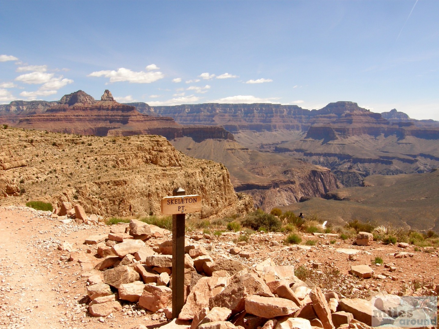
Kaibab Trail: Our turning point
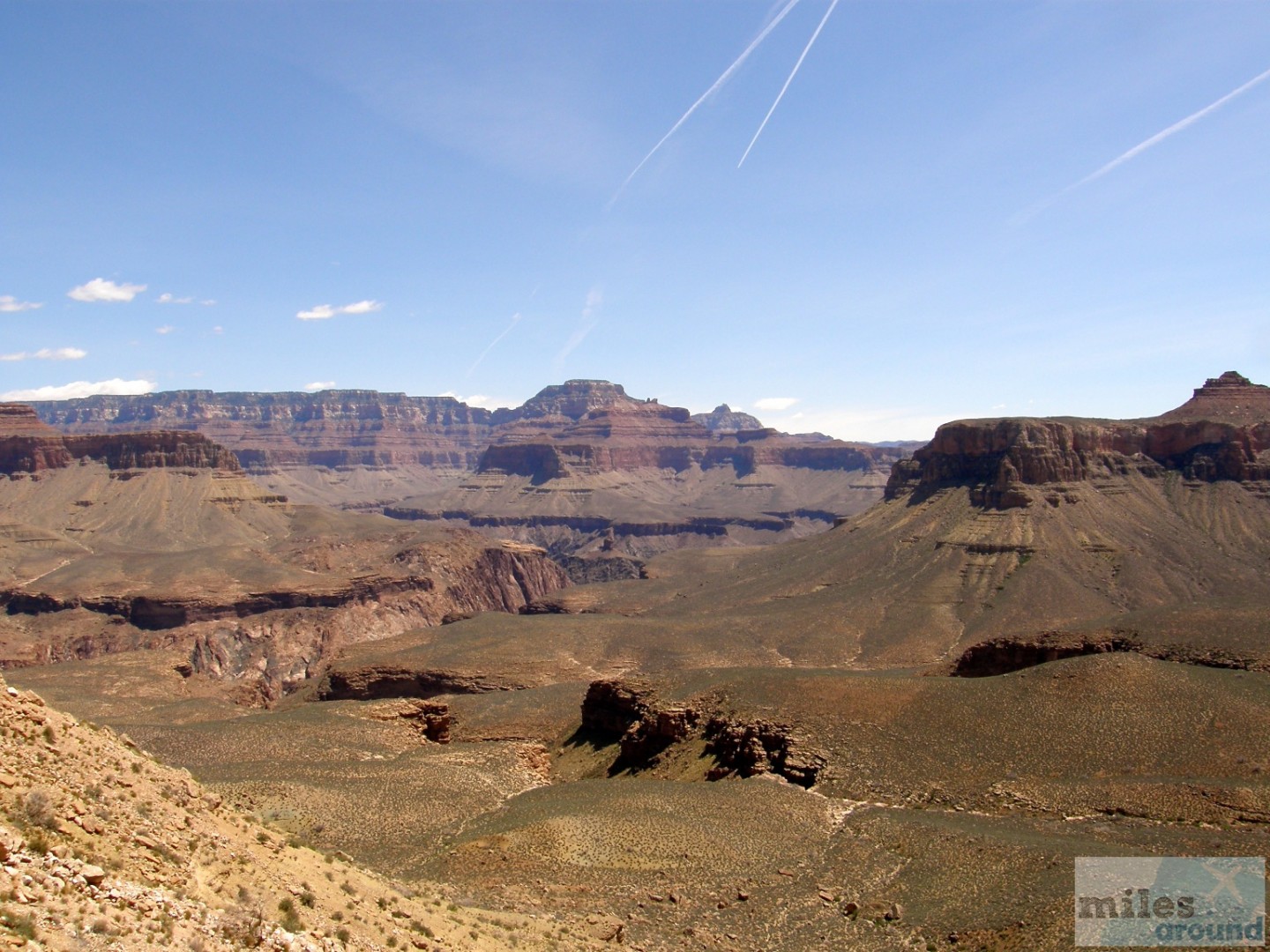
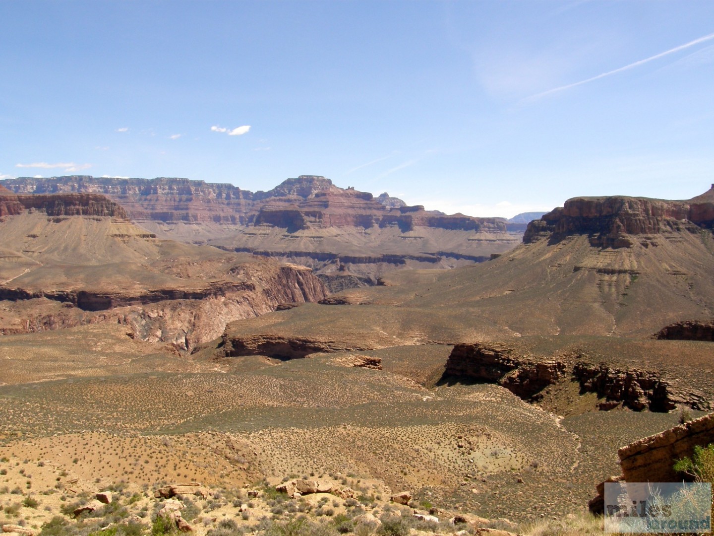
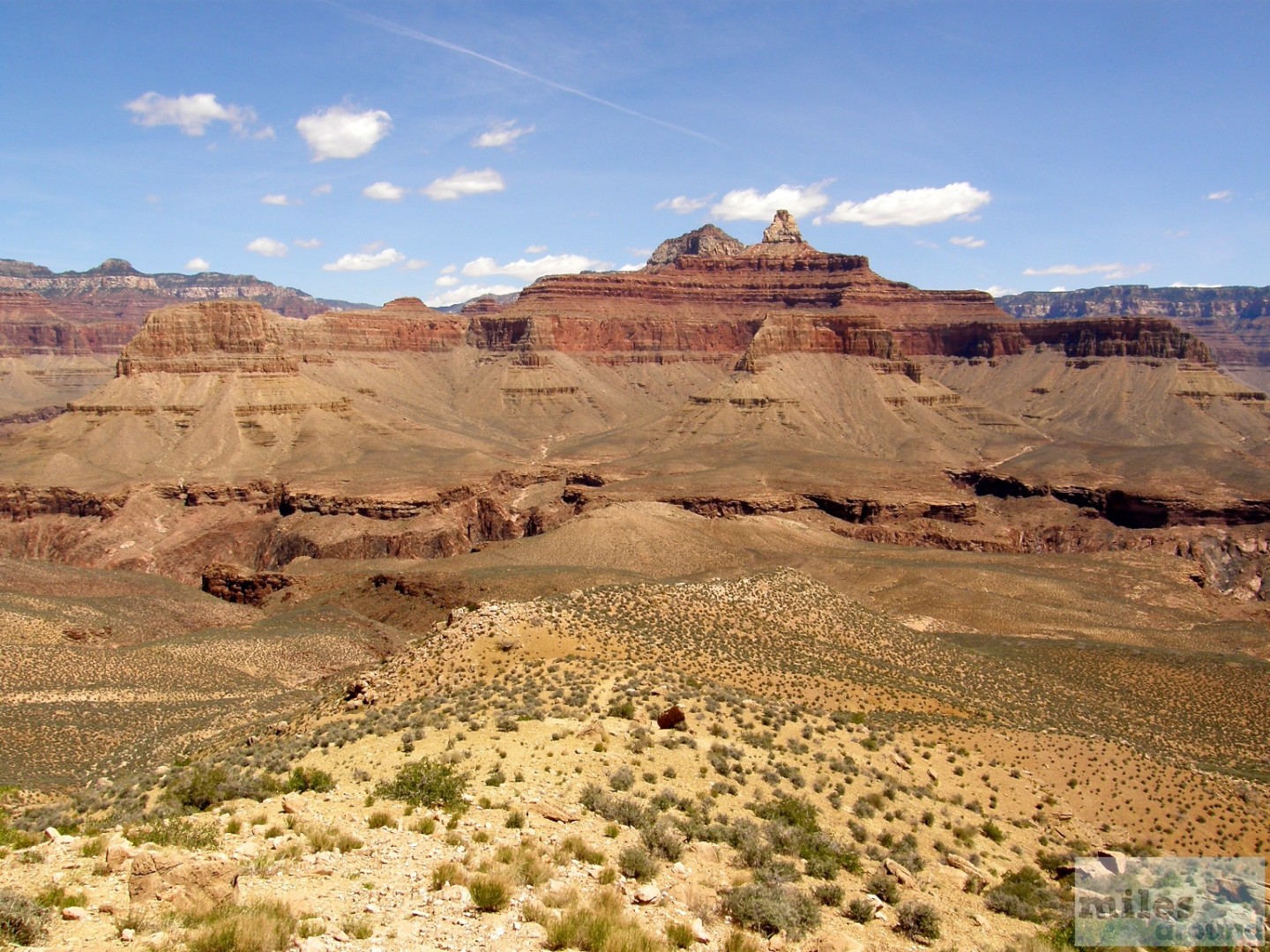
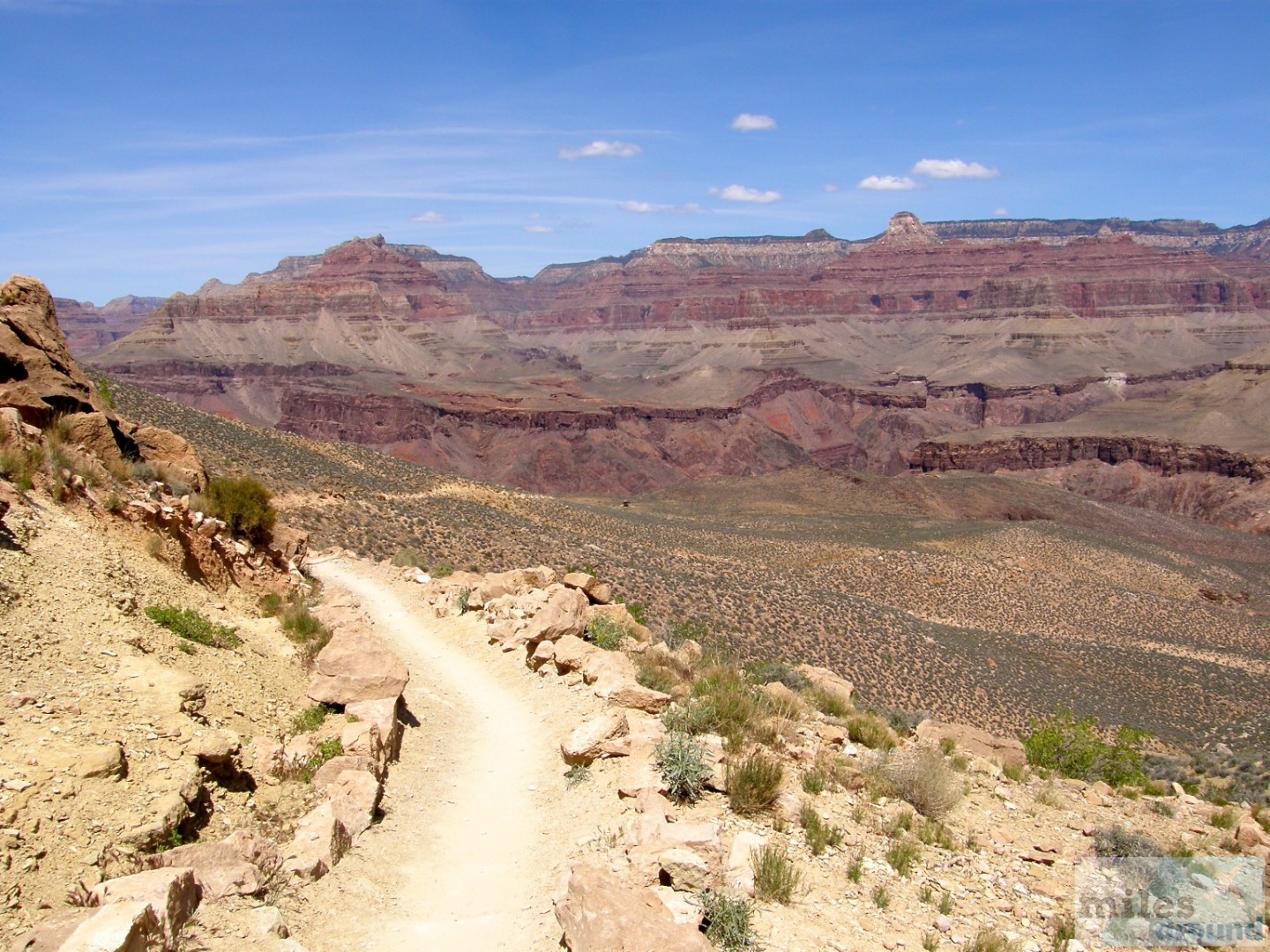
This part was one of the most difficult parts of our tour, both on the descent and later on the ascent. The sun shone just as mercilessly as before, but we were protected from the wind here, which meant that the air was stagnant and extremely oppressive. After about 45 minutes we reached the lowest point of our tour, about 850 m below the canyon edge. From here we had a good view of the inner canyon, at the foot of which the Colorado flows. We also really had the feeling of standing in the middle of a huge gorge, with only steep cliffs visible on all sides.

Kaibab Trail: Way back
Now it was time to return. This one turned out to be harder than expected. So in the end all of our water supplies were empty, the cookies were all gone and we were very exhausted. The entire tour took six hours, with us completing the descent in 2.5 hours and the ascent in 3.5 hours. We covered a total of 1,700 meters in altitude and around 11 kilometers of route.
Are you still looking for a suitable hotel at the Grand Canyon?
You can find a hotel that suits your budget through the various online travel agencies such as Agoda,Booking.com,ebookers.de,Expedia,Hotels.com,lastminute.de, otel.com or Venere.com.
- overall rating
Summary
All in all, a very nice tour, which I would like to go back to the end. Then with an overnight stay on the Phantom Range and a canoe tour on the Colorado River. In any case, the Grand Canyon is worth a visit.

